Last updated 2026-01-01.
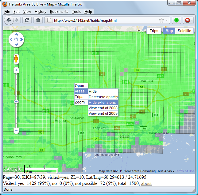
The visited areas are based on a map called "Kartat ja Kadunnimet Pääkaupunkiseutu" (ISBN: 951-98617-1-8, printed in 2001):
The map was extended by:
The extensions can be shown/hidden using the left-click context menu.
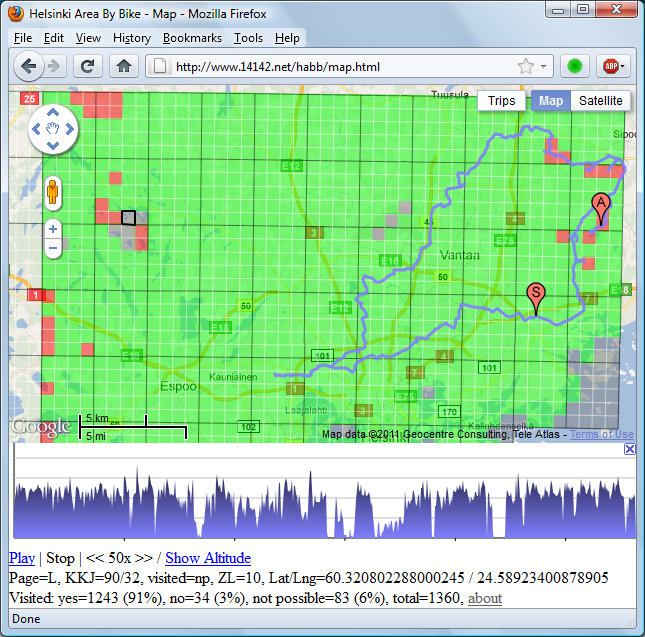
The trips are recorded with a GPS logger (i-gotU GT-120 aka myLogger until 2013, i-gotU GT-600 until 2020 and Columbus P-1 since then) and a cycle computer (Atech K29 until end of 2014, Union 10 until 2023, Sigma BC 12.0 since then).
Helsinki Area By Bike consists of two parts: gpx2json and browser based graphical user interface. The former formats the trip data into compressed format more suitable for the latter to use. The source code of both parts is available at GitHub.
gpx2json compresses GPX files into JSON files. The size of the GPX files is about 130 megabytes (years from 2009 to 2015) and the size of the JSON files is about 3 megabytes. The high compression ratio is achieved by skipping irrelevant parts in GPX files and encoding the relevant parts in less verbose form. gpx2json is implemented in Python programming language.
The browser based user interface displays areas and trips on a map using Leaflet JavaScript library or Google Maps JavaScript API. The JSON files created by gpx2json are downloaded as compressed files if the browser supports HTTP compression. In that case the size of the downloaded files is about 2 megabytes. The user interface is implemented in JavaScript programming language and it utilizes HTML and CSS technologies.
back to the map